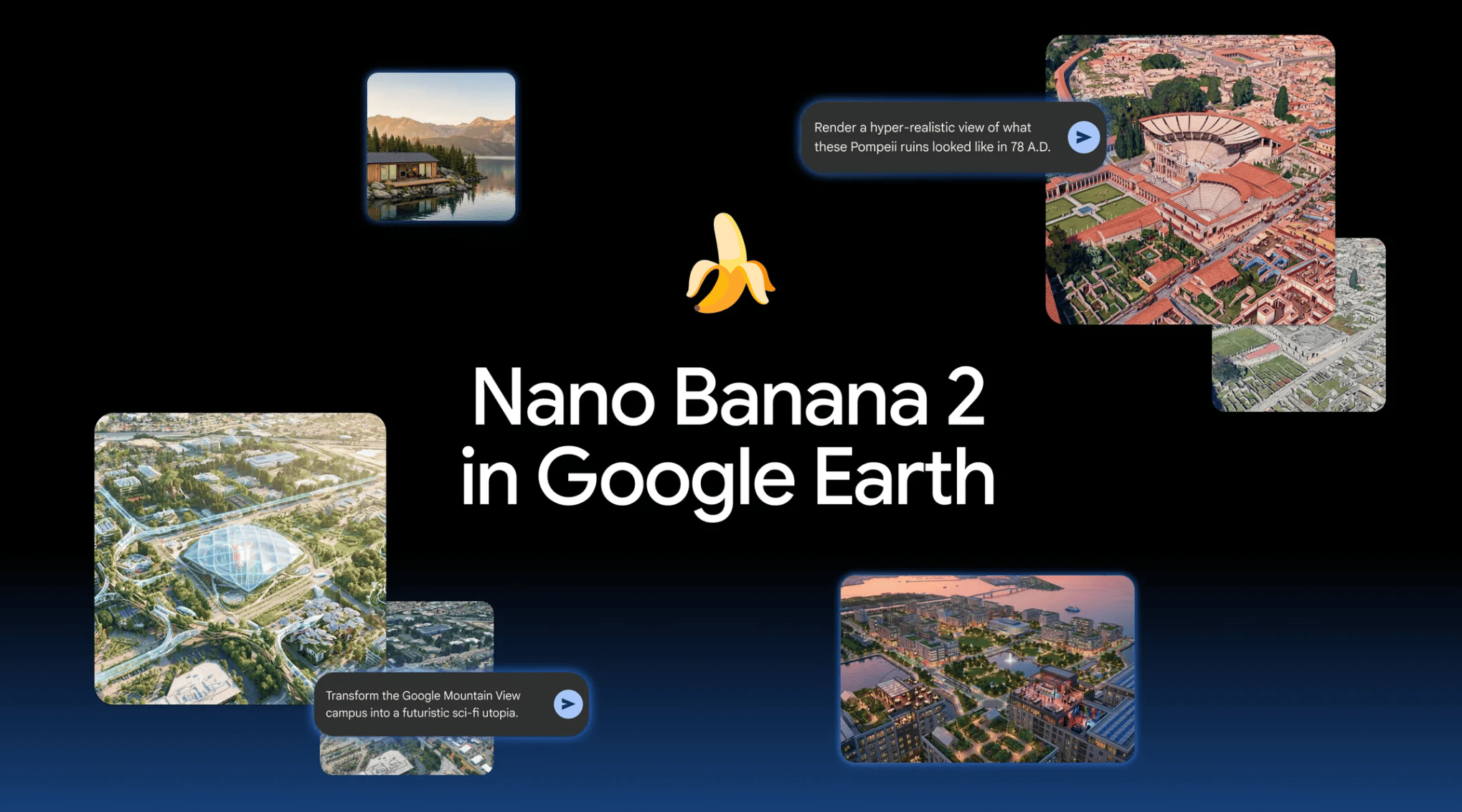
Google has temporarily disabled a new artificial intelligence tool in Google Earth, just one day after its launch, after it was found to be capable of generating highly realistic but fake satellite images without adequate safeguards.
The feature allowed users to select any location on the map, click “Create image” and modify it using a simple text prompt. Google designed it for creative and educational uses, such as recreating historical settings or visualising changes to a neighbourhood.
However, journalists and open-source researchers showed that the tool could easily generate images of bombed hospitals, nuclear facilities, refugee camps, flooded cities and fatal road accidents. Because the images were based on Google’s real satellite data, they closely matched the lighting, viewing angles and colours of the original imagery, making them difficult to distinguish from real satellite images.
Google Earth is widely regarded as one of the most trusted tools used by journalists, governments and researchers to verify information.
The company said the images were not publicly visible in the main Google Earth application and were digitally labelled as AI-generated. However, a simple screenshot could remove important context and, in some cases, bypass detection systems.
The issue is particularly sensitive because Google Earth has long been used by journalists, governments and researchers as a trusted tool for verifying information. Google said it will add further safeguards before considering whether to restore the feature.
Source: New York Times


 What is fyi.news?