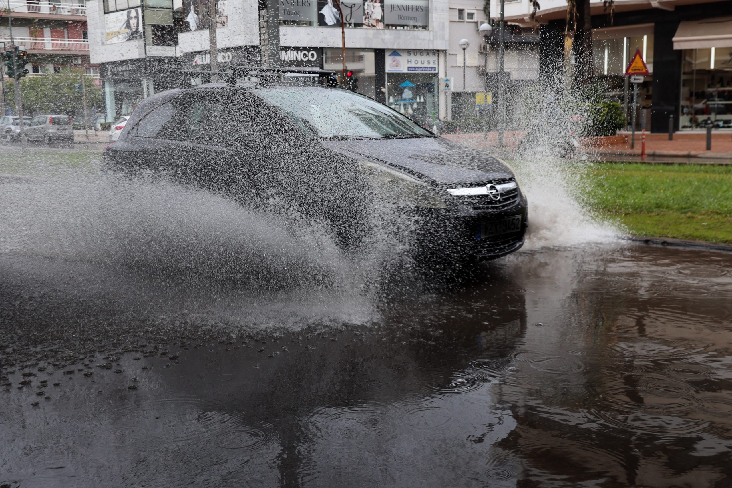
Severe weather has been affecting northern Greece since yesterday, with flooding reported in Vonitsa and Preveza after intense rainfall, and damage in Thessaloniki and Corfu caused by falling trees and collapsing structures. From today, rain and thunderstorms are expected to spread across most of the country, except for the southern and southeastern island regions. In several areas, the phenomena are expected to be locally intense, accompanied by high rainfall totals.
According to forecasts from the Hellenic National Meteorological Service, thunderstorms – and in some cases hailstorms – are expected today in Attica, the Ionian Islands, Epirus, western Central Greece, the Peloponnese, central and eastern Macedonia, and Thrace. Tomorrow, the weather system will continue to impact Thrace and will also extend to the northeastern Aegean and the Dodecanese, before gradually weakening.
The weather system is classified as category 3 out of 5 by the National Observatory, meaning it is “significant” and capable of causing flooding and transportation disruptions.
The deterioration in weather conditions is linked to a low-pressure system moving from southern Italy toward northern Greece. The event has been classified as category 3 out of 5 by the Regional Precipitation Index of the National Observatory of Athens, indicating conditions capable of triggering floods and disruptions to transportation networks.
Meteorologist Theodoros Kolydas noted that the latest data point to particularly high rainfall totals in Corfu, Arta, Aetolia-Acarnania, the rest of the Ionian islands, and Laconia. In northern Greece, heightened caution is advised in the regional units of Kavala, Xanthi, and Rhodope, particularly in coastal zones.
Sources: Πρώτο Θέμα, Το Βήμα